We are very lucky with the weather crossing the Drake Passage.
Today is a full day of navigation at sea, as it takes 2 days to cross the Drake Passage before we can reach the Antarctica continent. The weather conditions are exceptionally good, and even our Commandant looked surprised. Yet it's starting to get very cold outside and the wind increases the freezing temperature feel.

The night was just a bit rough and you could feel the ups and downs of the waves. Starting the day with an early coffee at deck 9. Today we cross the convergence line, located 60 degrees south. This zone is where cold surface water from Antarctica sinks below warmer, less saline water from the middle latitudes. It is also used to define the virtual frontier of the geographical area protected by the Antarctic Treaty established in 1959.


Who is the Commandant Charcot ?
Since it is the name of the ship, it warrants a good explanation. Actually France was amongst the early nations to set foot in Antarctica when Dumont d'Urville in 1840 discovered The Terre Adelie, where the French Research Polar station is located today. But that discovery was not followed by much interest to discover more as France preferred to focus on more tropical conquests. It is only in 1903, under his personal initiative (and money) than Jean Baptiste-Charcot relaunches the era of polar researches and expeditions on behalf of France. His first ship was named "Le Francais", then in 1908, his second ship was named "Le Pourquoi Pas?" (meaning Why Not?). Charcot will explore new territories travelling for the first time beyond 70 degrees south (the Antarctic circle), and our cruise is in the wake of those early exploratory trips with the goal to reach the Charcot Island and Pourquoi Pas Island, named after him. Note that it is only a few years later, in 1912, than Scott and Admunsen will reach the South Pole for the first time.

The Commandand Charcot is the most powerful (hybrid LNG/Electric) and capable ice-breaking ship that exists in the world (if you exclude the Russian nuclear fleet).
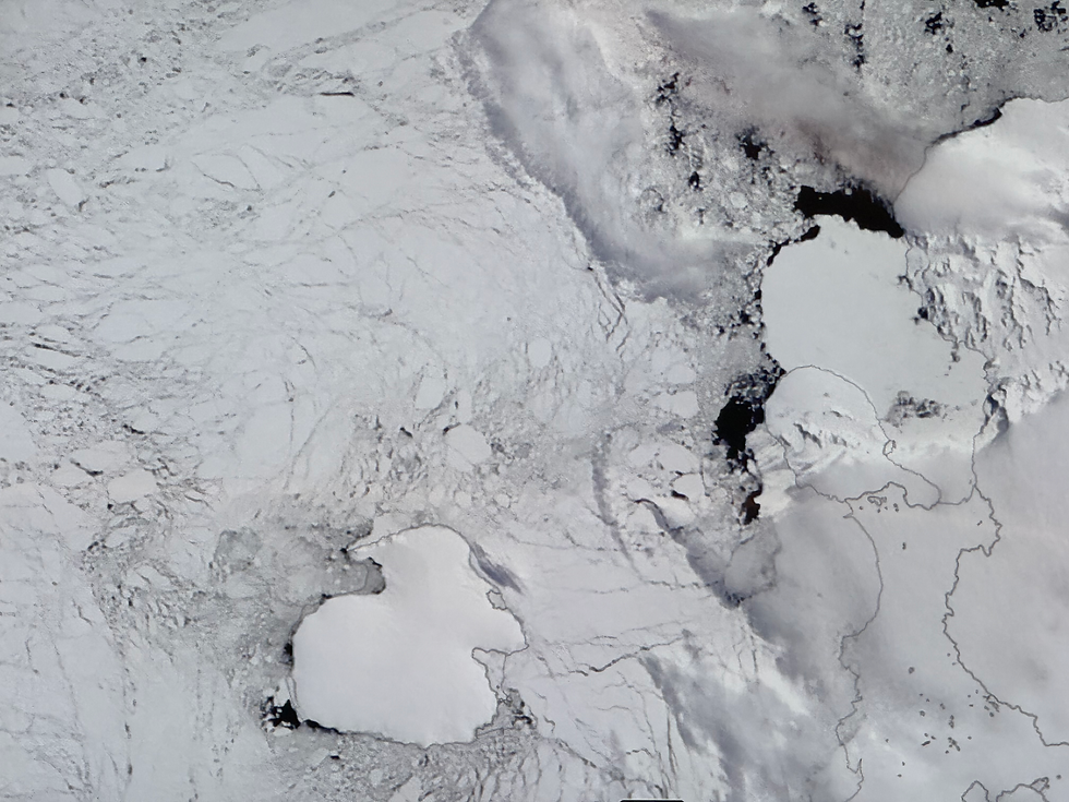
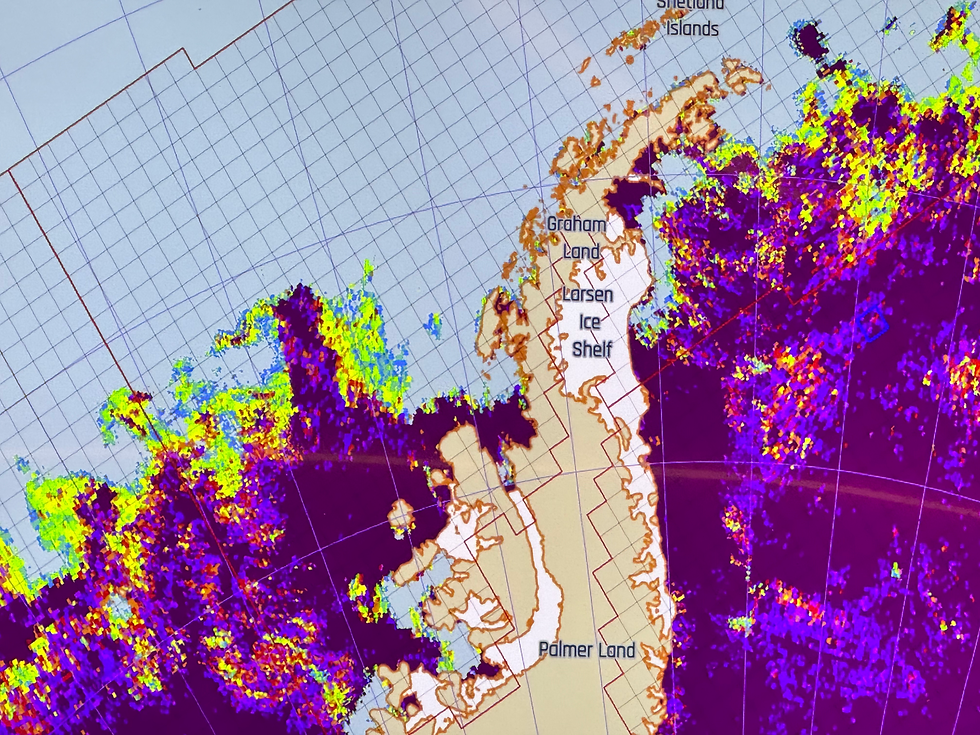
Regularly the ship receives satellite images like the one below -which was taken 3 days ago-, and it is used to assess the ice conditions and find the right navigation passages thru the ice. On the bottom left, you can see the Charcot island, totally surrounded by the ice pack. On the second picture, colors indicate the density of the ice with the purple color showing close to 100% ice presence.
Survival on the ice:
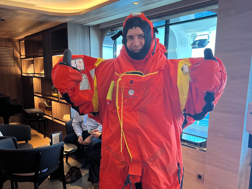
Talking about ice pack, we also got to try-on the survival suit in case we have to abandon the ship and jump into the water. It's really hot in this very thick suit which allows you to float and stay warm in the icy water during 10 hours. Not sure what happen after...Then since today is the Gala Dinner, hosted by the Commandant, we also get to try our business suit...so many changes of clothes in one day !

Commentaires